Back to West Cornwall & The Lizard walks
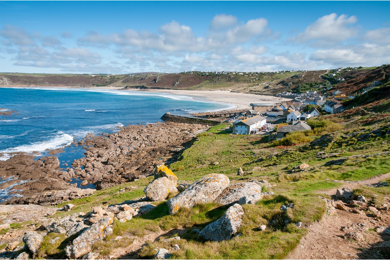
The rugged, remote Penwith coast – mermaid legends, Iron Age cliff castles, mining heritage and the most westerly point of mainland England.
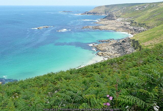
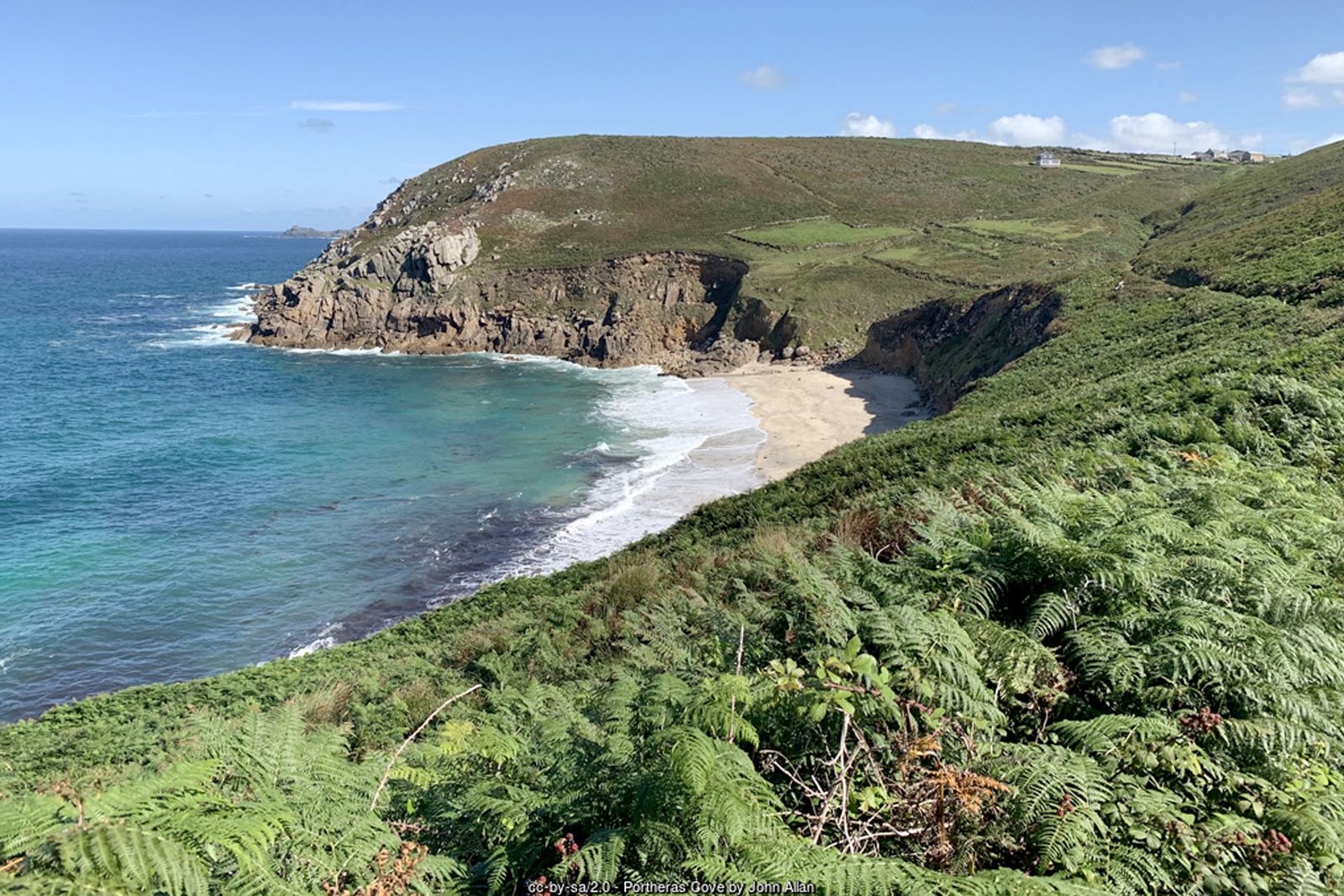
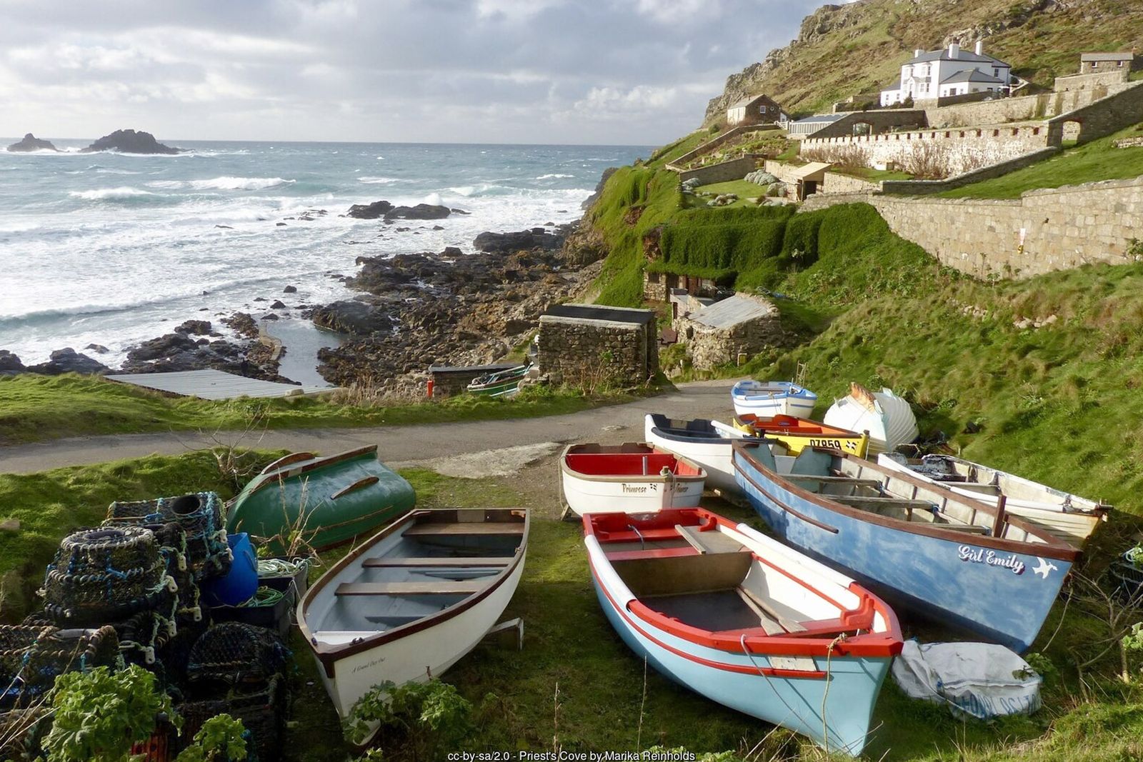
St Ives is a lovely place to visit, with a long history as a fishing port and plenty to see in its narrow streets. Westwards from the town the coast path soon becomes wild and remote, and it stays that way almost all the way to Land's End.
This is a serious walk: the path is rough, rocky and steep in places, and there are few places to leave the coast. Most walkers split it into two or three days, stopping at Zennor and Pendeen.
Walk at a glance
- Distance
- About 24 miles, one way – best split over 2–3 days
- Grade
- Strenuous in places – boulder fields and many steep ups and downs
- Map
- OS Explorer 102 – Land's End
- Start
- St Ives harbour (finish at Land's End)
- Terrain
- Rough, rocky coast path, sometimes indistinct between St Ives and Zennor
- Stages
- Natural overnight stops at Zennor and Pendeen
Parking
Car parks in St Ives (very busy in the main holiday season) and at Land's End. As this is a one-way walk, plan your return by bus.
Facilities
Toilets, shops and cafés at St Ives, Zennor, Pendeen, Sennen Cove and Land's End.
Disabled access
This long, strenuous route is not suitable for wheelchairs or anyone with limited mobility: the path is rough and rocky, with boulder fields, steep climbs and very few places to leave the coast. The level harbour front in St Ives is the most accessible part of the start. At the far end, the South West Coast Path Association includes Sennen Cove to Land’s End among its easy-access walks (graded moderate) – check its route details before you go.
Places to stay
The route
St Ives to Zennor
Leave St Ives westwards past Porthmeor beach on a well-trodden path. After a couple of miles it becomes much quieter. Carn Naun, over 300 feet above the sea, gives spectacular views and the first steep descent; beyond it the going gets tougher, with boulder fields, many ups and downs and a sometimes indistinct path towards Zennor. The rocks offshore are The Carracks, a good place to spot seals.
Zennor
Zennor village has a pub and, in its church, a carved bench end telling the legend of the Mermaid of Zennor, said to have lured a local squire’s son into the sea with her singing.
Gurnard's Head to Pendeen
The next prominent headland is Gurnard’s Head, with the remains of an Iron Age cliff castle. Beyond it, the cliffs around Bosigran are a favourite with rock climbers. Pendeen Lighthouse, built in 1900, soon comes into view.
Levant, Botallack and Cape Cornwall
Heading west you reach the mining coast of Geevor, Levant and Botallack. At Levant the National Trust runs a restored steam beam engine; in 1919 the mine’s man-engine collapsed, killing 31 men. Geevor, one of the last working tin mines in Cornwall, is now a museum with underground tours. Cape Cornwall, with its distinctive mine chimney, was once thought to be the most westerly point of England.
Whitesand Bay and Sennen
Continue past Cot Valley to the wide sweep of Whitesand Bay – a good surfing and bathing beach, but take note of the lifeguards and warning signs. Sennen Cove, at the far end, has a lifeboat station, cafés and pubs.
On to Land's End
Climb the next cliff for a magnificent seascape. The path to Land’s End is very well trodden and eroded in places. At Land’s End you have walked about 24 miles from St Ives and reached the most westerly point of mainland England.
All information is given in good faith and for guidance only. Always carry the OS map and check the South West Coast Path website for diversions.
Highlights along the way
Zennor
A tiny granite village famous for the legend of its mermaid.
Gurnard's Head
A dramatic headland with an Iron Age cliff castle.
Botallack and Levant
Engine houses clinging to the cliffs – part of the Cornish Mining World Heritage Site.
Cape Cornwall
A headland crowned by a mine chimney, where the Atlantic currents divide.
Nearby
Towns & villages
Photos
Where the walk starts
The marker shows the start of the walk.
Before you set out
Carry the OS map – paths and signs can change and mobile signal is patchy.
Check the weather and tide times before you set out.
Keep to the path and well back from cliff edges.
Keep dogs under close control near livestock and cliffs.