Back to West Cornwall & The Lizard walks
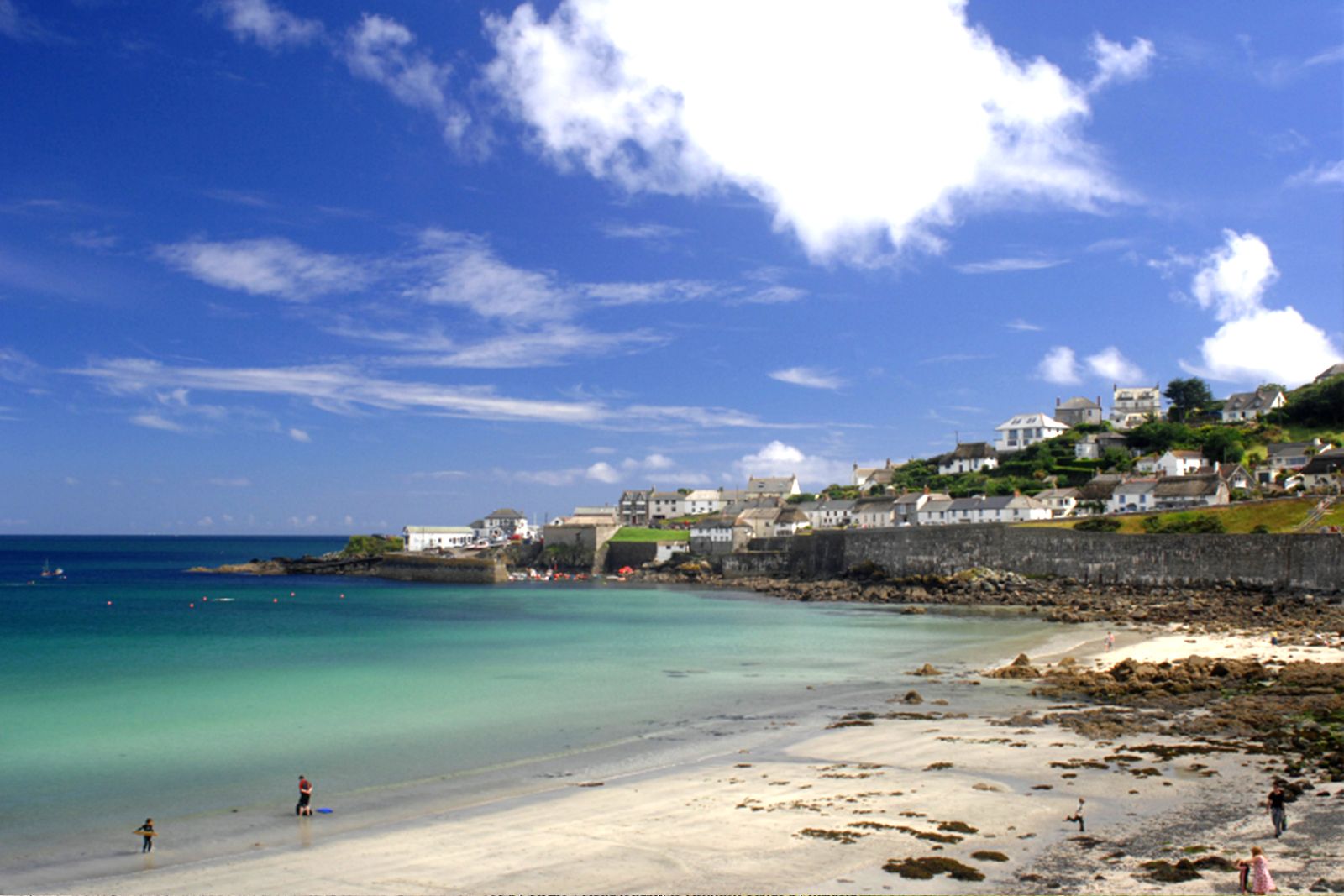
Beautiful views of Coverack and the best view of the Manacles, where many a ship has been wrecked – a varied circuit on the east side of the Lizard.
This attractive walk takes in beautiful views of Coverack and the best view of the Manacles, a reef on which many ships have been wrecked. The route covers varied terrain – wear stout shoes, or wellingtons after rain.
Look out for the wild flowers along the coast path, and for the raised beach at Lowland Point, a relic of higher sea levels.
Walk at a glance
- Distance
- 5 miles (about 3 hrs)
- Grade
- Moderate – muddy in places, many stiles
- Map
- OS Explorer 103 – The Lizard
- Start
- Main car park, north end of Coverack
- Terrain
- Coast path, raised beach, fields, stone stiles and heathland
Parking
Main car park at the north end of Coverack village.
Facilities
Toilets, pub, shops and cafés in Coverack; pubs and shops in St Keverne. Roskilly’s at Tregellast Barton, near St Keverne, is known for its ice cream.
Disabled access
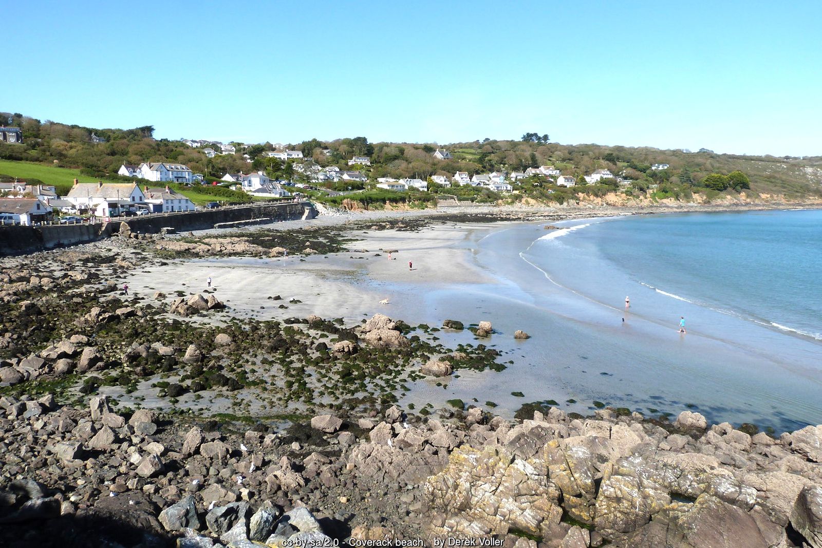
This circuit is not suitable for wheelchairs or anyone with limited mobility: it crosses many stone stiles, rough coast path and uneven, often muddy field paths. The most accessible part is the village itself – the North Corner car park sits beside the beach and public toilets, and the seafront and harbour are a short walk along the village road, with views across the bay.
The route
Coverack to the cliff path
From the main car park, leave the main road and continue along the lane past the bus shelter. At the top of the lane follow the sign to Lowland Point, down to a path along the cliff edge. For the first quarter of a mile the path undulates; alternative routes have been cut above it to avoid slippery rocks and mud.
The raised beach to Lowland Point
Beyond The Grove the path is bordered by bracken that grows to shoulder height. Stone steps then lead up onto a raised beach, where the ground opens out with a clear view out to sea. Follow the raised beach to Lowland Point.
Godrevy Cove and the Manacles
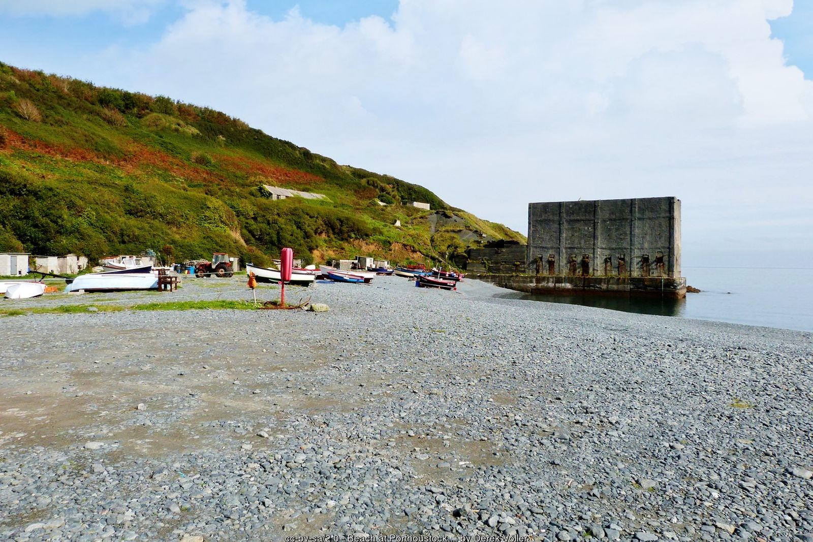
From Lowland Point climb towards Dean Quarry, where the path divides. (For a shorter walk, take the grassy track up to the left behind the quarry and join the road to St Keverne.) Follow the signed coast path (it may be diverted around the quarry – follow the waymarks) to Godrevy Cove, a large beach made from quarry waste – the best viewpoint for the Manacles, especially at low tide.
Rosenithon to St Keverne
The footpath from Godrevy Cove leads through Chenhale Farm to Rosenithon. Turn left and follow the road to St Keverne.
Across the fields
In the village take the lane past the garage heading south out of the square. At the first sharp right-hand bend cross the stile in front of you. Keeping the hedge on your left, go through two fields, then head diagonally right across the third field and over a stile to the road. Cross the stile on the right-hand side of the lane to Trebarveth and head diagonally right across several fields and stone stiles to Trevalsoe.
Boscarnon and back to Coverack
Follow the road to a sharp right turn and take the track straight ahead over a little bridge and up to Boscarnon (dogs here – keep yours on a lead). The path passes in front of the house and bears left onto a concrete drive; keep on this until it turns sharp right. Cross the stile left of the gate and follow the track across three fields, then down between hedges to a copse with a ruined building. Cross two ancient meadows with rock outcrops, turn right through an archway of bushes and over two stiles; from here the path down to Coverack is easy to follow through heathland and copses, with views over the bay.
All information is given in good faith and for guidance only. Always carry the OS map and check the South West Coast Path website for diversions.
Highlights along the way
Coverack
A picturesque fishing village with a small harbour and a sheltered beach.
Lowland Point
A flat raised beach, left by higher sea levels, jutting out into the sea.
The Manacles
A notorious reef offshore, the scene of countless shipwrecks.
St Keverne
A large village square and a church whose spire was long used as a landmark by sailors.
Nearby
Beaches
Places to visit
Towns & villages
Photos
Where the walk starts
The marker shows the start of the walk.
Before you set out
Carry the OS map – paths and signs can change and mobile signal is patchy.
Check the weather and tide times before you set out.
Keep to the path and well back from cliff edges.
Keep dogs under close control near livestock and cliffs.