Back to West Cornwall & The Lizard walks
Some of the wildest coast in Cornwall – granite cliffs, hidden coves and a headland fort – with a return across tiny fields enclosed by Cornish hedges since prehistoric times.
Zennor is a tiny granite village between the moors and the sea on the north coast of West Penwith. Its church is famous for the carved bench end of the Mermaid of Zennor, who, the legend says, lured a local singer, Mathey Trewella, down to the sea. This circular walk follows the South West Coast Path west from the village to Gurnard’s Head, then returns along the old church path across the fields.
Both Zennor Head and Gurnard’s Head are cared for by the National Trust. In winter, Dartmoor ponies graze the cliffs to keep the heathland in good condition – please do not feed them. The coast path here is rough underfoot, so wear walking boots and allow plenty of time.
Walk at a glance
- Distance
- About 4 miles (allow 2½–3 hrs)
- Grade
- Moderate – rough, rocky coast path with some steep sections; many granite stiles on the return
- Map
- OS Explorer 102 – Land’s End
- Start
- Zennor car park, TR26 3BZ
- Terrain
- Rugged coast path with boulders (slippery when damp), open headland, field paths and stiles
Parking
Small car park in Zennor village (postcode TR26 3BZ). It fills early in summer; check charges on site.
Facilities
The Tinners Arms pub and a café in Zennor; the Gurnard’s Head pub and restaurant on the B3306 at Treen, about halfway round. There are no facilities on the coast path itself. Zennor is on the seasonal coastal bus route between St Ives and Land’s End – check current times before you travel.
Disabled access
This walk is not suitable for wheelchairs or anyone with limited mobility: the coast path is rough and rocky, with boulders, steep sections and unfenced cliff edges, and the return across the fields has many granite stiles. St Senara’s Church, with its famous mermaid carving, and the Tinners Arms are a short walk along the village lane from the car park, making them the easiest part of the route to reach.
Places to stay
The route
Zennor to Zennor Head
From the car park walk past the Tinners Arms and St Senara’s Church, then follow the lane beyond the church towards the sea. It becomes a track and leads out onto the coast path at Zennor Head, a granite headland with big views along the coast in both directions.
Pendour Cove and Carnelloe
Turn left (west) along the coast path. It drops above Pendour Cove, the cove of the mermaid legend, and Veor Cove, then continues over rocky ground towards Carnelloe Cliff. The path crosses boulders that are slippery when wet. There are old mine workings around Carnelloe, some of them unfenced shafts – stay on the path and keep dogs close.
Porthglaze and Treen Cove
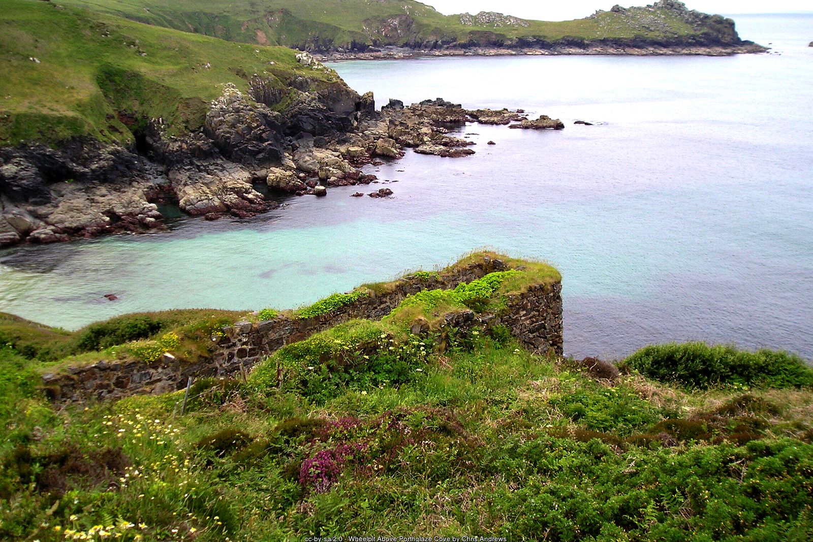
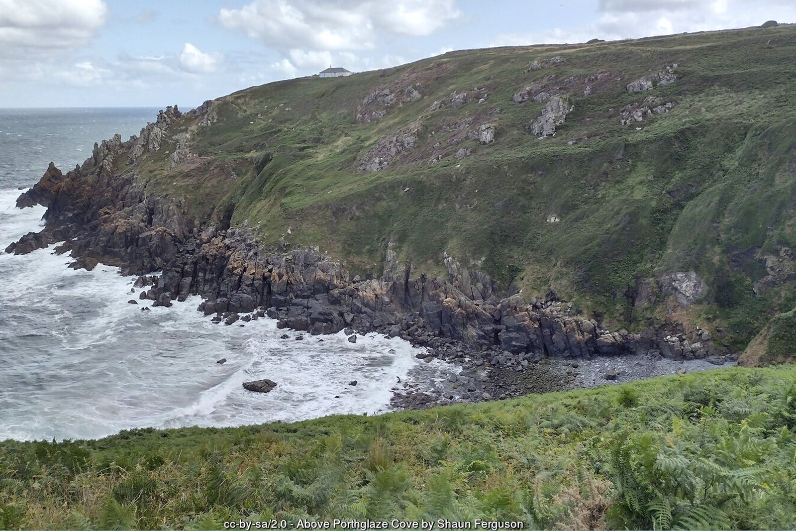
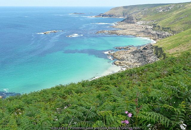
Continue west above Porthglaze Cove and past Carn Neen and Boswednack Cliff. Ahead, the long ridge of Gurnard’s Head juts out into the sea. The path descends towards Treen Cove on its eastern side, where a sandy beach appears at low tide.
Gurnard’s Head
Where the path meets the neck of the headland, it is worth a detour out onto Gurnard’s Head itself. Banks and ditches across the neck mark the Iron Age promontory fort of Trereen Dinas, and on the slopes nearby are the scant remains of Chapel Jane, a small medieval chapel. The end of the headland is steep and exposed, so take great care.
Up to Treen
Return to the neck of the headland and take the path inland, climbing gently to the hamlet of Treen and the Gurnard’s Head pub on the B3306 – a good place for lunch.
The church path back to Zennor
From the pub, turn left (east) and pick up the signed footpath across the fields towards Zennor. This is the old church path, crossing a patchwork of small fields whose stone-and-earth Cornish hedges have their origins in prehistoric times. It crosses many granite stiles and can be muddy. Keep heading east, with the sea on your left, until the path brings you back into Zennor by the church.
All information is given in good faith and for guidance only. Always carry the OS map and check the South West Coast Path website for diversions.
Highlights along the way
Zennor
A granite village with the Tinners Arms and a church famous for its mermaid carving.
Gurnard’s Head
A dramatic headland crowned by the Iron Age cliff castle of Trereen Dinas.
Treen Cove & Porthglaze
Remote coves below the cliffs, with sand at low tide and seals offshore.
The church path
An old field path across tiny, ancient fields bounded by Cornish hedges.
Nearby
Photos
Where the walk starts
The marker shows the start of the walk.
Before you set out
Carry the OS map – paths and signs can change and mobile signal is patchy.
Check the weather and tide times before you set out.
Keep to the path and well back from cliff edges.
Keep dogs under close control near livestock and cliffs.