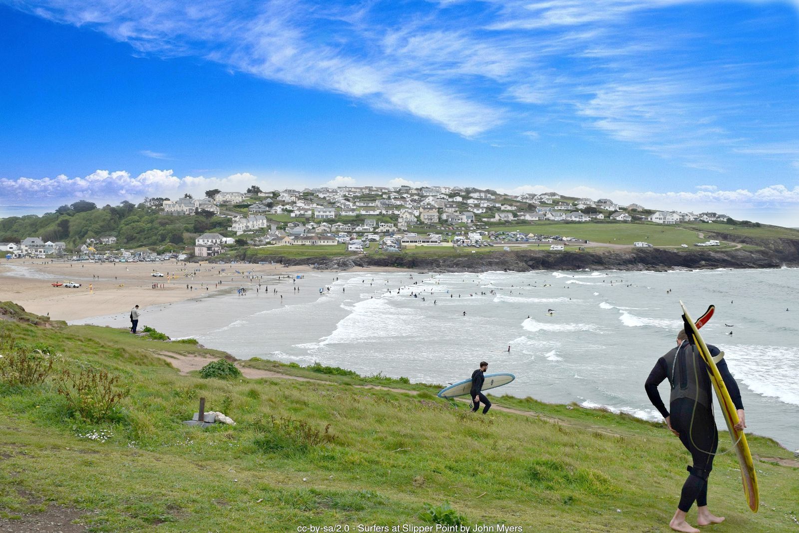
Twin headlands crowned by an Iron Age fort, seals below the cliffs and views from Trevose Head to Tintagel – one of the finest headland walks in Cornwall.
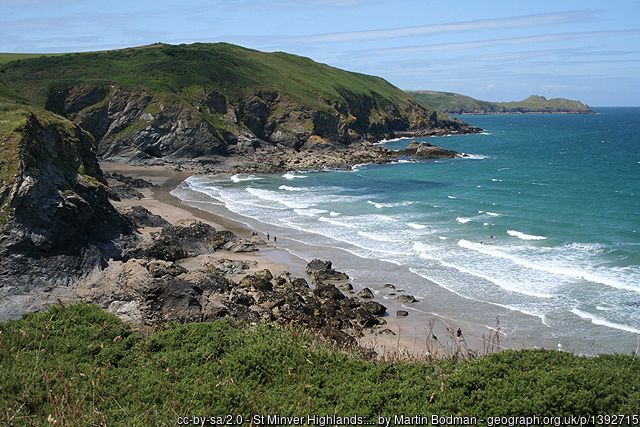
The Pentire headland stands between Polzeath and Port Quin Bay, a wild stretch of grassland and cliff cared for by the National Trust. At its northern tip, the twin rocky promontories of The Rumps are ringed by the ramparts of an Iron Age cliff castle, while the view from Pentire Point takes in the Camel Estuary, Stepper Point and, on a clear day, Trevose Head lighthouse and Tintagel.
It was on these cliffs in September 1914 that the poet Laurence Binyon wrote “For the Fallen”, with its famous lines “They shall grow not old, as we that are left grow old”. This circuit combines the headland with the little cove of Lundy Bay, returning over the fields to Pentireglaze.
Walk at a glance
- Distance
- About 5 miles (allow 2½–3 hrs)
Shorter headland loop 3½ miles - Grade
- Moderate – some steep slopes and steps, exposed on the headland
- Map
- OS Explorer 106 – Newquay & Padstow
- Start
- National Trust Pentireglaze car park, near Polzeath PL27 6QY
- Terrain
- Grassy and stony coast path, some steps, gated fields and farm tracks – muddy after rain
Parking
National Trust pay and display car park at Pentireglaze (PL27 6QY), free for National Trust members; the machines take coins only, or pay by JustPark. Further National Trust car parks at Lead Mines and Lundy Bay. You can also start from Polzeath beach, following the coast path round past New Polzeath to Pentireglaze Haven.
Facilities
Toilets (including a Changing Places toilet) and a café at Pentireglaze car park – in winter the toilets are only open when the café is. Cafés, shops and toilets in Polzeath.
Disabled access
The full coastal circuit is not suitable for wheelchairs: the coast path is narrow, stony and uneven in places, with steps and steep slopes above unfenced cliffs. The National Trust car park at Pentireglaze has designated disabled spaces, an accessible toilet, a Changing Places toilet and a café reached by a ramp, and the orchard beside it has a compacted stone path. The National Trust also has an all-terrain Tramper mobility scooter for hire at Pentire (book in advance), with several routes suitable for it.
The route
Numbers in circles match the points on the route map and the waypoint table below. Distances are approximate and measured between points.
Main walk – Pentireglaze, Lundy Bay, The Rumps and Pentire Point (about 5 miles)
Pentireglaze to Lundy Bay car park
Leave the car park through the courtyard by the café and go back to the lane just outside. Follow the National Trust’s permissive path towards Lundy Bay: where the lane bends right, carry straight on along the farm track and through the field gate. Walk to the end of the hedge line, turn right with the hedge on your left and head for the far corner of the field. Go through the kissing gate on the left and follow the grassy path that runs inside the fields parallel with the road. A final kissing gate brings you out onto the road beside the Lundy Bay car park. Take care crossing – there is no pavement and traffic is fast in summer.
Point 2: Lundy Bay National Trust car park (PL27 6QZ) – 50.57938, -4.89343 (SW 953 795)
Down the valley to the coast path
Opposite the car park, go through the signed gate and follow the path down the valley beside open meadows and through light woodland. After about five minutes you reach a South West Coast Path fingerpost, and just beyond it the path divides above the little cove of Markham’s Quay.
Point 3: Markham’s Quay – coast path above the cove – 50.58242, -4.88918 (SW 9556 7984)
Detour to Lundy Hole and Lundy Beach
For Lundy Hole and the beach, turn right (east) and take the lower path. Lundy Hole is a deep pit with a natural rock arch on its seaward side, formed when the roof of a sea cave fell in – a wall runs around the top, but keep children and dogs close. A flight of wooden steps leads down to Lundy Beach, which is only sandy around low tide. Come back up by the higher path on the right and retrace your steps to the fingerpost.
Point 4: Lundy Hole (collapsed sea cave) and steps to Lundy Beach – 50.58258, -4.88622 (SW 9577 7985)
Up to Carnweather Point
At the fingerpost follow the coast path west, with the sea on your right. It climbs fairly steeply to a kissing gate at Carnweather Point, then crosses open grassland. There is a bench with a fine view ahead to The Rumps and the rocky island of The Mouls, and back across Port Quin Bay to the folly of Doyden Castle.
Point 5: Carnweather Point – 50.58430, -4.89693 (SW 9502 8007)
Along the cliffs to Pengirt Cove
Go through another kissing gate and continue along the narrowing path, with a Cornish hedge on your left. Ignore a fingerpost pointing left to Pentireglaze and keep ahead through a further kissing gate, passing an old quarry on the seaward side. Beyond a stone field wall, a kissing gate on the left leads inland to the Lead Mines car park – keep straight on along the coast path above Pengirt Cove. The cliff edges along this stretch are unfenced.
Point 6: Coast path above Pengirt Cove – path to Lead Mines car park – 50.58498, -4.90912 (SW 9416 8018)
Com Head and The Rumps
Continue past Com Head, with The Mouls just offshore, and climb beside the wall towards The Rumps. Where the path forks above the headland, bear right and go through the gap in the three lines of Iron Age ramparts that cut across the neck of the promontory. Out on the twin headlands look for grey seals below and seabirds on The Mouls. The path around the tip is rocky and close to the cliff edge – you can simply stay on the grassy centre of the headland.
Point 7: The Rumps – Iron Age cliff castle ramparts – 50.59204, -4.92116 (SW 93339 80998)
The Binyon plaque
Leave The Rumps back through the ramparts and bear right, following the coast path up to the clifftop and on west. Ignore a path heading inland to Pentire Farm. On the cliffs between The Rumps and Pentire Point is the stone memorial plaque to Laurence Binyon, who wrote “For the Fallen” here in September 1914.
Point 8: Laurence Binyon memorial plaque – 50.58974, -4.92368 (SW 931 807 (approx.))
Pentire Point
Continue to Pentire Point, the rocky tip of the headland, where the coast path turns sharply left (south). The white trig pillar a few yards inland stands at about 83 m (270 ft). The view takes in the mouth of the Camel Estuary, Stepper Point and Padstow Bay, and on a clear day Trevose Head to the west and Tintagel to the east.
Point 9: Pentire Point – trig pillar just inland of the path – 50.58878, -4.92645 (SW 929 806 (approx.))
Down to Pentireglaze Haven
Follow the coast path south along the cliffs, with the estuary and Polzeath’s Hayle Bay on your right. The path drops across a side valley, then descends to Pentireglaze Haven, a sandy cove that is largely covered at high tide. Near the Haven the path has been re-routed inland in places because of cliff erosion – follow the current waymarks and keep away from the edge.
Point 10: Pentireglaze Haven – bridleway inland – 50.57992, -4.91824 (SW 93492 79643)
Back over the fields to the car park
At the Haven follow the coast path above the beach, then leave it by turning left onto the blue-waymarked bridleway heading inland beside a house. Go through several gates (please close them behind you), keeping to the right-hand edge of two fields, then continue along a track between hedges. Where it forks, take the left-hand footpath rather than the road. The path descends gently, crosses a small footbridge and passes through the orchard; cross the road to return to the Pentireglaze car park.
Point 1: National Trust Pentireglaze car park and Pentire café (PL27 6QY) – 50.58201, -4.90580 (SW 94382 79840)
Option Shorter headland loop from Pentireglaze, missing Lundy Bay (about 3½ miles)
Start from the Pentireglaze car park (point 1), then:
Pentireglaze to Lead Mines
Leave the car park through the courtyard and turn right along the lane, heading uphill. Turn left at the junction, cross the cattle grid (or use the gate beside it) on the farm road, then turn right to the small Lead Mines car park, on the site of the old Pentireglaze lead mine.
Point A1: Lead Mines National Trust car park – 50.58323, -4.91005 (SW 94086 79988)
Lead Mines to the coast path
Take the path to the right of the pay machine and cross the field to a wooden gate onto the coast path above Pengirt Cove. Turn left and continue with the main walk from “Com Head and The Rumps” (step 6) back to Pentireglaze.
Point 6: Coast path above Pengirt Cove – path to Lead Mines car park – 50.58498, -4.90912 (SW 9416 8018)
All information is given in good faith and for guidance only. Always carry the OS map and check the South West Coast Path website for diversions.
Highlights along the way
The Rumps
Twin rocky headlands defended by the three ramparts of an Iron Age cliff castle.
Pentire Point
A dramatic headland with a plaque to Laurence Binyon, who wrote “For the Fallen” here in 1914.
Lundy Bay
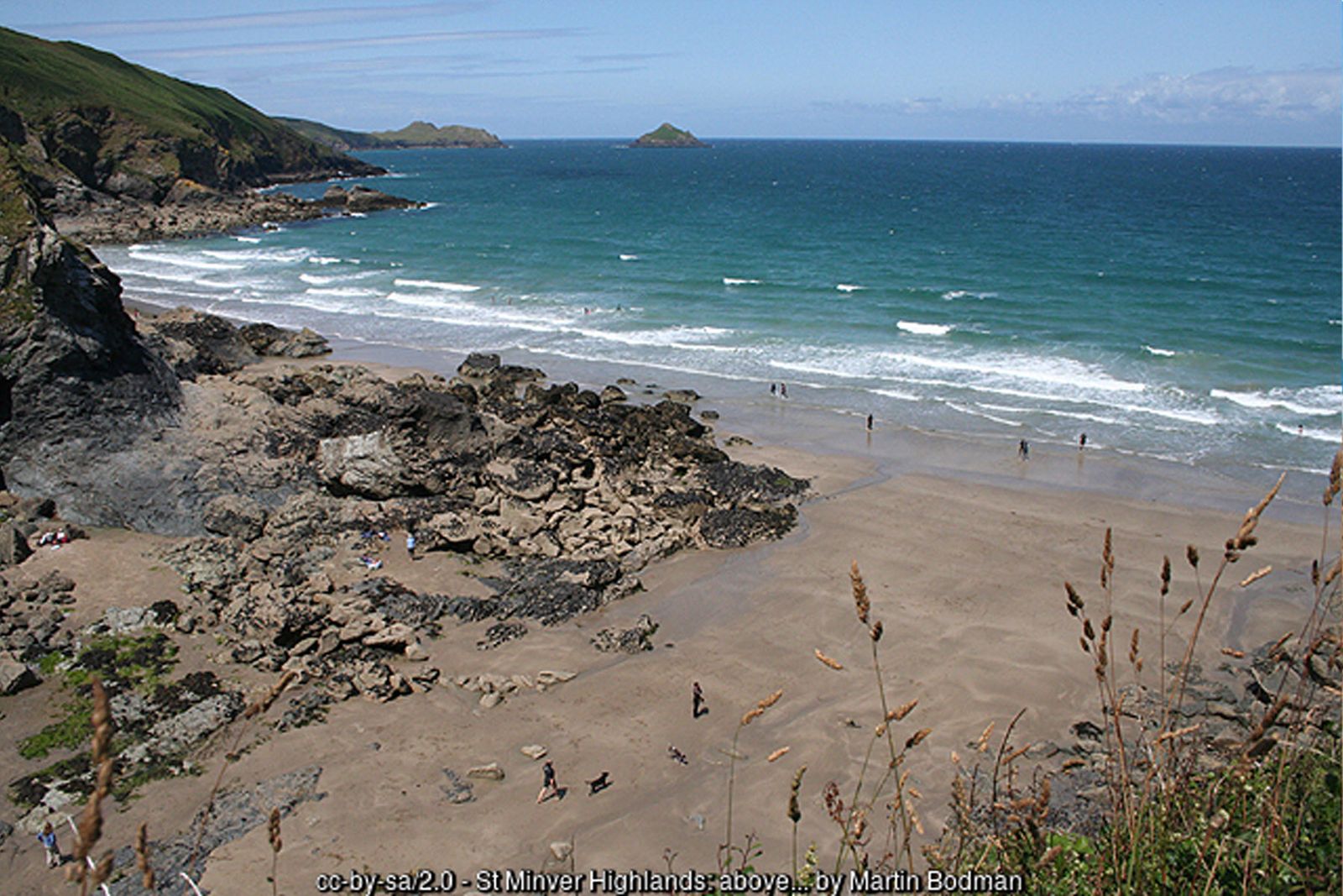
A secluded sandy cove with the collapsed sea cave of Lundy Hole nearby.
Wildlife
Grey seals, peregrine falcons and nesting seabirds on The Mouls; wildflowers on the cliffs in spring.
Nearby
Places to visit
Towns & villages
Photos
Route map and waypoints
Latitude and longitude (WGS84, as used by phones and sat-navs) with OS grid references. The markers show key points only – follow the waymarked paths between them.
| Point | Place | Lat, long | Grid ref |
|---|---|---|---|
| 1 | National Trust Pentireglaze car park and Pentire café (PL27 6QY) | 50.58201, -4.90580 map | SW 94382 79840 |
| 2 | Lundy Bay National Trust car park (PL27 6QZ) | 50.57938, -4.89343 map | SW 953 795 |
| 3 | Markham’s Quay – coast path above the cove | 50.58242, -4.88918 map | SW 9556 7984 |
| 4 | Lundy Hole (collapsed sea cave) and steps to Lundy Beach | 50.58258, -4.88622 map | SW 9577 7985 |
| 5 | Carnweather Point | 50.58430, -4.89693 map | SW 9502 8007 |
| 6 | Coast path above Pengirt Cove – path to Lead Mines car park | 50.58498, -4.90912 map | SW 9416 8018 |
| 7 | The Rumps – Iron Age cliff castle ramparts | 50.59204, -4.92116 map | SW 93339 80998 |
| 8 | Laurence Binyon memorial plaque | 50.58974, -4.92368 map | SW 931 807 (approx.) |
| 9 | Pentire Point – trig pillar just inland of the path | 50.58878, -4.92645 map | SW 929 806 (approx.) |
| 10 | Pentireglaze Haven – bridleway inland | 50.57992, -4.91824 map | SW 93492 79643 |
| A1 | Lead Mines National Trust car park | 50.58323, -4.91005 map | SW 94086 79988 |
Before you set out
Carry the OS map – paths and signs can change and mobile signal is patchy.
Check the weather and tide times before you set out.
Keep to the path and well back from cliff edges.
Keep dogs under close control near livestock and cliffs.