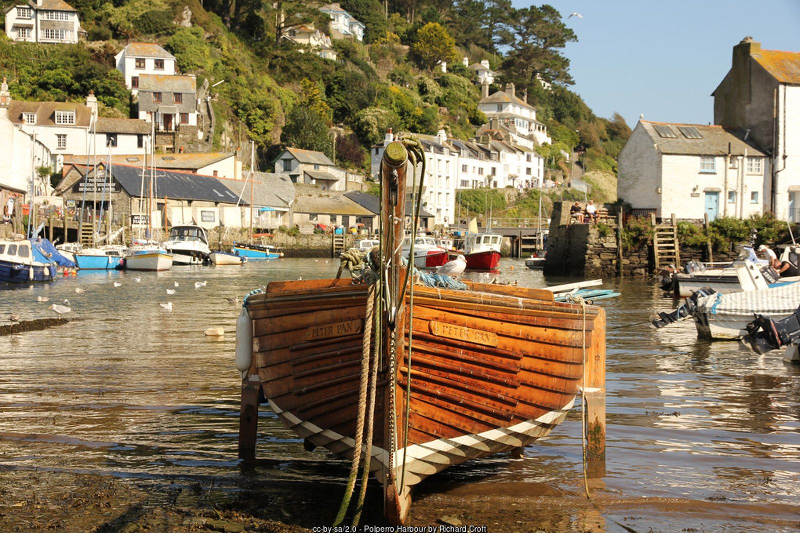
A short, rewarding loop from one of Cornwall’s best-loved fishing villages – smuggling tales, a clifftop war memorial and the two sheltered coves of Talland Bay.
Polperro is the classic Cornish fishing village – tiny cottages packed into a steep valley around a harbour guarded by a narrow entrance. This short circular walk leaves the harbour past The Warren, climbs onto the South West Coast Path round Downend Point and follows the cliffs east to Talland Bay.
The return is inland along Bridals Lane, an old track through the trees said to have been used by brides on their way to Talland church, and back into Polperro down Talland Hill. It is a walk steeped in smuggling history, with views out to the Eddystone Lighthouse on a clear day.
Walk at a glance
- Distance
- 3¾ miles (about 2 hrs)
- Grade
- Moderate – steep climbs out of Polperro and Talland
- Map
- OS Explorer 107 – St Austell & Liskeard
- Start
- Crumplehorn car park, Polperro
- Terrain
- Village streets, coast path, a wooded valley path and quiet lanes; muddy in places
Parking
The main Polperro car park at Crumplehorn, at the top of the village beside the Crumplehorn Inn – visitors’ cars are not allowed down into the village. Charges apply; the machines have been reported as coin-only, so take change or check payment options before you travel. The harbour is about a mile’s gentle walk down the valley; a seasonal shuttle runs from the car park to the village.
Facilities
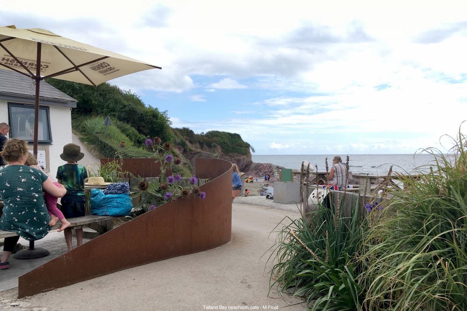
Public toilets in Polperro, including accessible toilets (RADAR key) at The Coombes. Plenty of pubs, cafés and shops in the village. A seasonal beach café at Talland Bay.
Disabled access
This walk is not suitable for wheelchairs or anyone with limited mobility: the coast path climbs steeply out of Polperro and Talland on rough, uneven ground with steps, and the return uses a muddy woodland path and steep lanes. The road from Crumplehorn car park down the valley to the harbour is gently sloping and surfaced, and a seasonal shuttle runs between the car park and the village. Accessible toilets (RADAR key) are at The Coombes in Polperro. Talland Bay can be reached by car along a very narrow lane, and the beach café there is close to the small car park.
Places to stay
The route
Crumplehorn to the harbour
From the car park at Crumplehorn walk down the valley road into Polperro, keeping the stream beside you, and continue along Fore Street towards the harbour. Allow 15–20 minutes – and remember it is uphill on the way back.
Around The Warren
At the foot of Talland Hill turn right into Talland Street and follow it round the north side of the harbour along The Warren. The path climbs steeply past a viewpoint with seats looking back over the harbour mouth. Where Reuben’s Walk branches right, you can detour to a viewpoint above the harbour entrance before rejoining the main path.
Downend Point
At the fork keep to the South West Coast Path, signed towards Talland, rather than the inland footpath. The path rounds Downend Point, where the war memorial shared by Polperro and Talland stands above the rocks.
Along the cliffs to Talland Bay
Continue east along the coast path, ignoring the footpath inland to Brent and a lane on the left, and descend towards Talland Bay. Look out for the tall striped marker posts on the hillsides – pairs of these towers at Talland and Hannafore mark a measured nautical mile used by ships to check their speed.
Optional: Talland church
To visit Talland church, carry on past the first beach and the car park and turn right up the lane beyond. The church, with its unusual detached bell tower, stands on the hillside above the bay. Retrace your steps to the start of Bridals Lane.
Bridals Lane and back to Polperro
Above the first beach turn left (inland) onto Bridals Lane. It runs through the trees, crosses a stream and climbs steadily to the road at Carey Park above Polperro. Cross the road and continue along the lane ahead; at the bottom turn right, following signs for the village, and drop down Talland Hill to the harbour. Walk back up the valley to Crumplehorn.
All information is given in good faith and for guidance only. Always carry the OS map and check the South West Coast Path website for diversions.
Highlights along the way
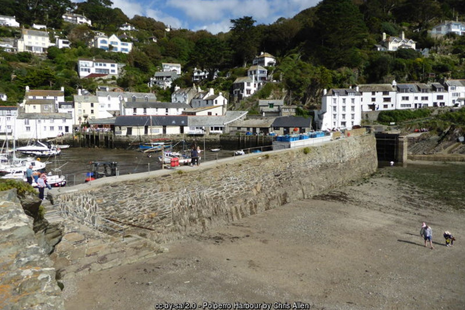
Polperro harbour
A tiny working harbour with a narrow entrance, surrounded by fishermen’s cottages and steep lanes.
War memorial, Downend Point
A clifftop memorial above the rocks, shared by the parishes of Polperro and Talland.
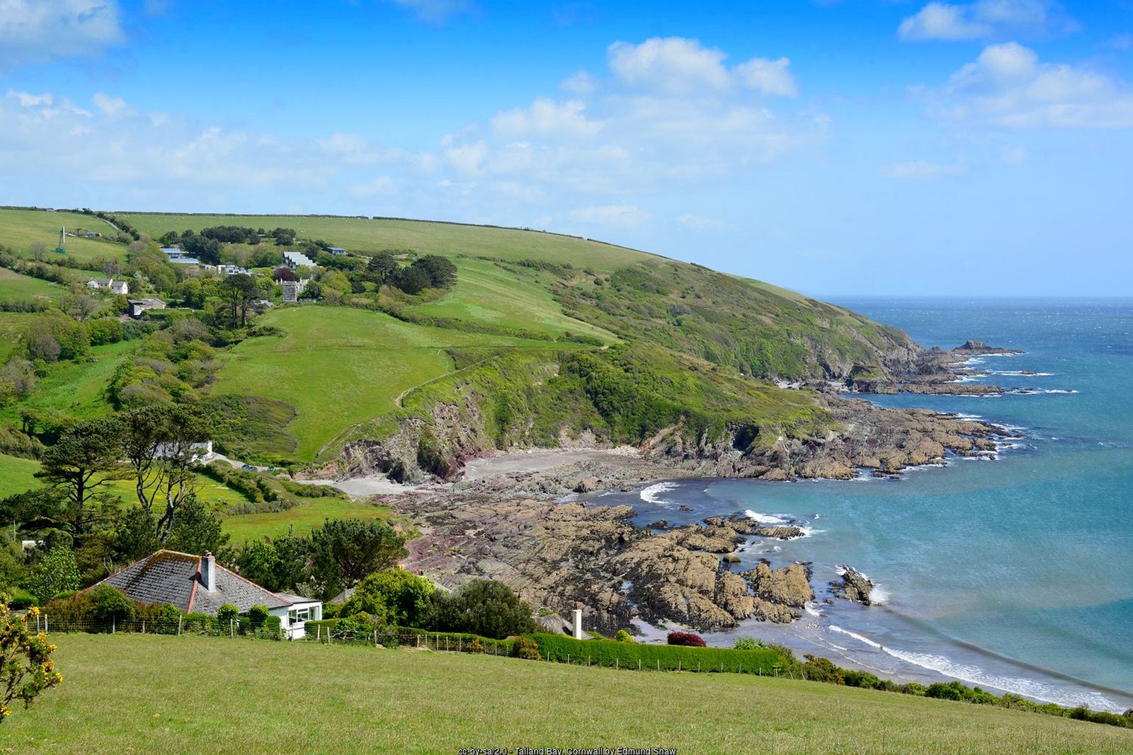
Talland Bay
Two sheltered coves with rock pools, and a seasonal beach café.
Talland church
A medieval church above the bay with carved bench ends and a detached bell tower.
Nearby
Beaches
Places to visit
Towns & villages
Photos
Where the walk starts
The marker shows the start of the walk.
Before you set out
Carry the OS map – paths and signs can change and mobile signal is patchy.
Check the weather and tide times before you set out.
Keep to the path and well back from cliff edges.
Keep dogs under close control near livestock and cliffs.