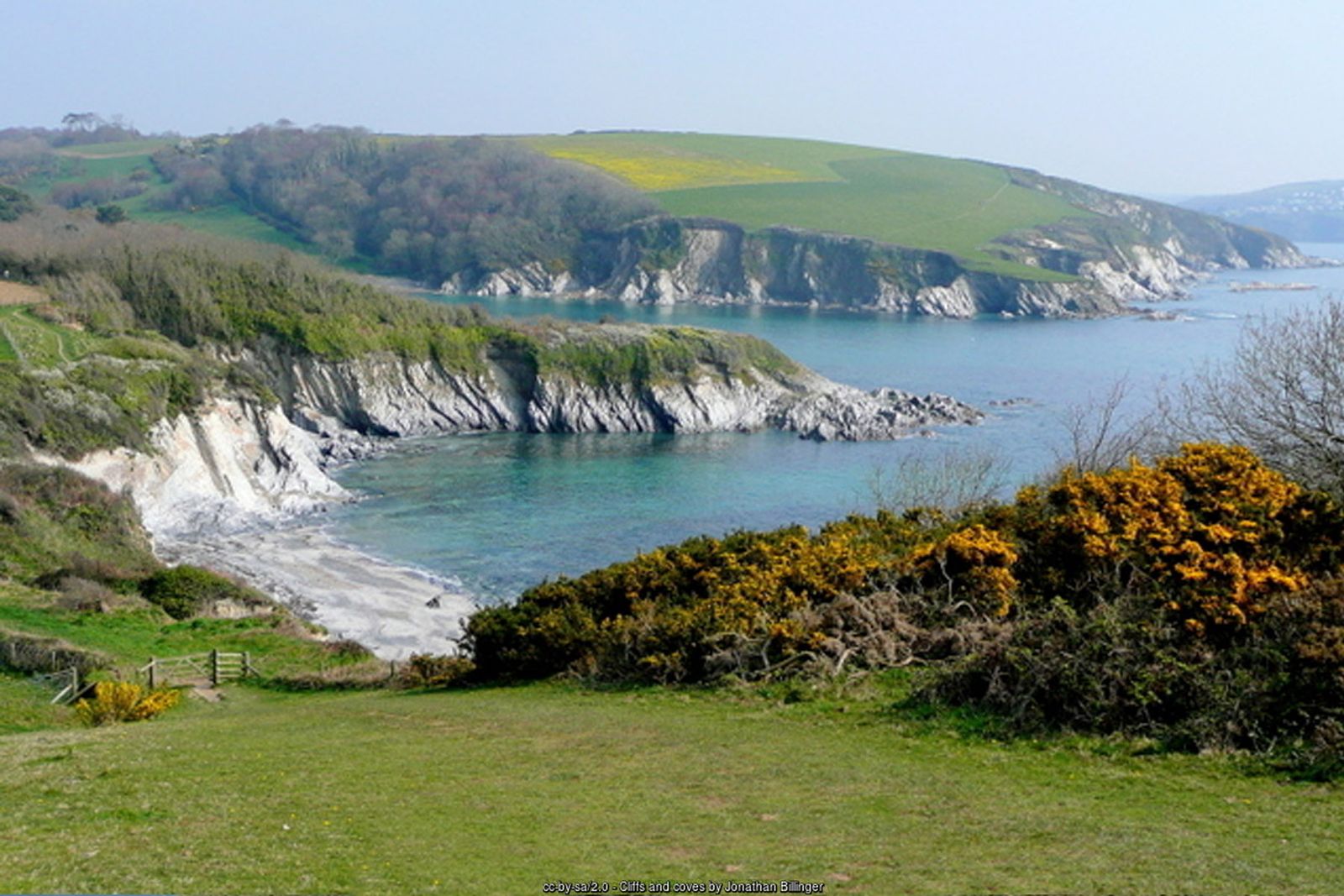
Daphne du Maurier country – hidden coves, a Tudor castle, the red-and-white Gribbin daymark and the old pilchard harbour of Polkerris.
The picturesque town of Fowey lies at the mouth of the River Fowey. It is steeped in history – look out for the Daphne du Maurier literary connections, the church of St Fimbarrus, and the china clay ships, fishing boats and yachts in the deep-water harbour.
Allow a full day for this walk, which follows the coast path round Gribbin Head to Polkerris before returning inland along the Saints’ Way.
Walk at a glance
- Distance
- 9¾ miles (allow a full day, about 6 hrs)
- Grade
- Moderate
- Map
- OS Explorer 107 – St Austell & Liskeard
- Start
- Town Quay, Fowey
- Terrain
- Coast path and tracks, muddy in places; return on the Saints' Way
Parking
Car parks in Fowey (the main car parks are at the top of the town). For a shorter visit to Polridmouth and Gribbin Head, start from the National Trust car park at Coombe Farm (PL23 1HW).
Facilities
Public toilets at Readymoney Cove; pubs, shops and cafés in Fowey; pub and café at Polkerris.
Disabled access
This walk is not suitable for wheelchairs or anyone with limited mobility: the National Trust describes the paths around Gribbin Head as uneven ground with slopes and steps throughout, and the route includes the slippery, rutted rock of Love Lane, gates and muddy farm tracks on the Saints’ Way. In Fowey the Town Quay itself is fairly level, but the streets around it are narrow and steep, and the Esplanade drops steeply to Readymoney Cove. Public toilets are at Readymoney Cove.
Places to stay
The route
Fowey to Readymoney Cove
Start from the Town Quay. Leave the south side of the quay, follow the road uphill and take the left turn towards Readymoney along the Esplanade, past Victorian and Edwardian houses and Fowey Hall. Just past Daglands Road, look over the seaward wall to the ruins of a 15th-century blockhouse – a chain was once slung across the harbour between the blockhouses to keep out enemy ships. From here follow the acorn signs to Polkerris.
St Catherine's Castle
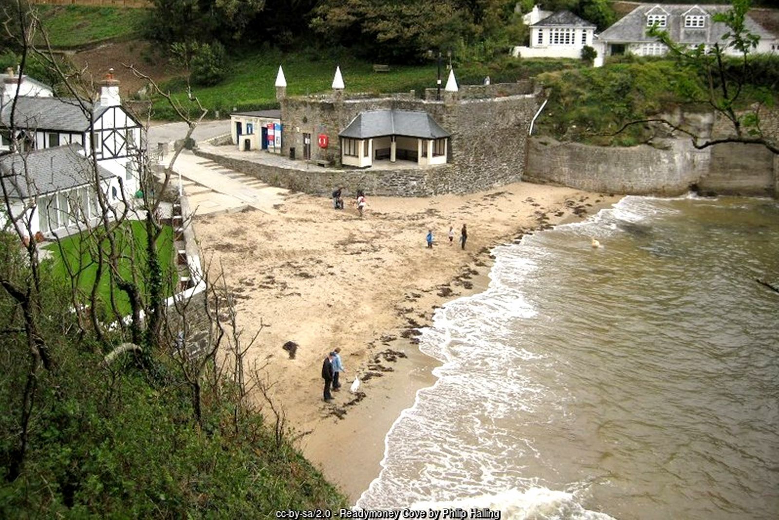
Readymoney is Fowey's own beach. Be careful on the slippery, cart-rutted rock of Love Lane. Round the cove, head through the woods to St Catherine’s Castle, built around 1540 as part of Henry VIII’s coastal defences and reused in the Second World War. The headland has many picnic spots.
Coombe Haven and Polridmouth
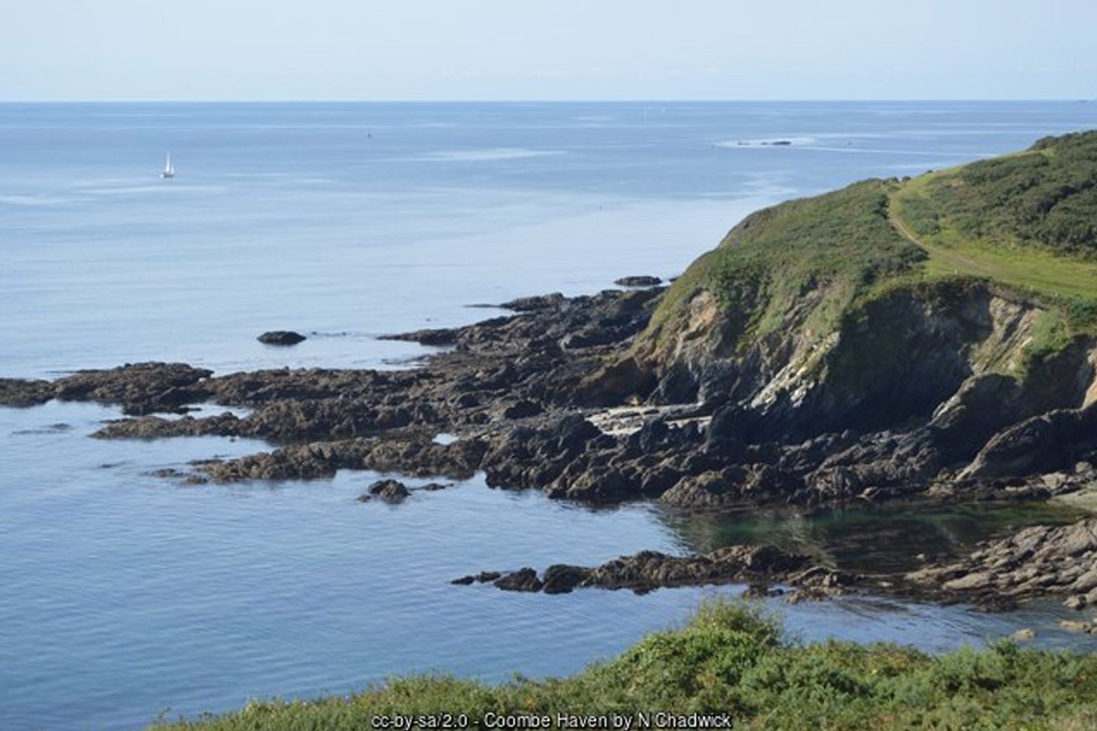
Continue to Coombe Haven, a secluded cove with a path up the valley to Coombe Farm, and on to Polridmouth Cove, with its lake and wooded valley leading to Menabilly – the house where Daphne du Maurier lived and the inspiration for Manderley in Rebecca.
Gribbin Head
Head for the 84-foot red-and-white striped daymark on Gribbin Head, built in 1832 to guide ships into Fowey. It is occasionally open to visitors on summer days when the flag is flying.
Along St Austell Bay to Polkerris
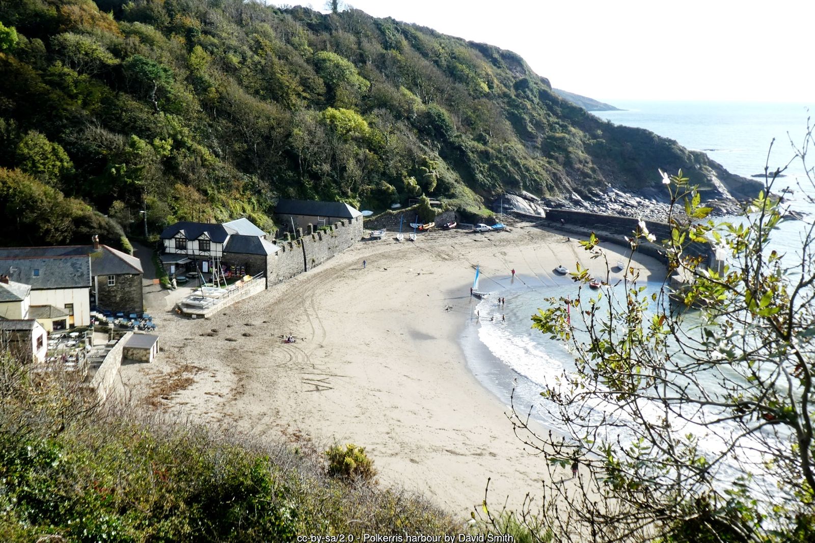
Continue north alongside St Austell Bay, with views over to the china clay country and the docks at Par. After about 2 km (1¼ miles) you reach the old harbour of Polkerris, with its curved slate pier and the remains of a pilchard palace, where fish were once cured and pressed. The pub and café make a welcome stop.
Back on the Saints' Way
From Polkerris climb back up and follow a footpath inland for 100 m to a narrow lane. Turn right, then after 50 m left through Tregaminion Farm – you are now on the Saints’ Way, so follow its cross waymarks inland on an undulating track parallel to the coast. Dip into a wooded valley and pass Lankelly Farm. At a T-junction turn right and head south for 200 m, then turn left and after 100 m right down the shaded track of Love Lane to Readymoney, and retrace your steps to Fowey.
All information is given in good faith and for guidance only. Always carry the OS map and check the South West Coast Path website for diversions.
Highlights along the way
St Catherine's Castle
A small Tudor fort guarding the mouth of the Fowey (English Heritage).
Polridmouth
The cove that inspired scenes in Daphne du Maurier’s Rebecca.
Gribbin Head daymark
A striking 84-foot navigation tower built in 1832.
Polkerris
A sheltered former pilchard-fishing harbour with a sandy beach.
Nearby
Towns & villages
Photos
Where the walk starts
The marker shows the start of the walk.
Before you set out
Carry the OS map – paths and signs can change and mobile signal is patchy.
Check the weather and tide times before you set out.
Keep to the path and well back from cliff edges.
Keep dogs under close control near livestock and cliffs.