Lighthouse, Victorian gun battery and some of the finest estuary views in Cornwall – a walk round the very tip of the Roseland Peninsula.
St Anthony Head is the southernmost tip of the Roseland Peninsula, guarding the entrance to the Fal estuary and Carrick Roads. The National Trust cares for the headland, with its lighthouse, the remains of a Victorian gun battery and a bird hide looking over the cliffs.
This circular walk follows the South West Coast Path up the estuary shore past the sandy coves of Molunan to Place and the little church of St Anthony, skirts Porth Creek, then crosses to Towan Beach and returns along the open cliffs past Porthbeor to the headland.
Walk at a glance
- Distance
- 6 miles (about 3 hrs)
- Grade
- Moderate – mostly easy, with a steep climb between Molunan and St Anthony Head
- Map
- OS Explorer 105 – Falmouth & Mevagissey
- Start
- National Trust car park, St Anthony Head (TR2 5EX)
- Terrain
- Coast path, field-edge and creekside paths, a short section of lane; several stiles
Parking
National Trust pay and display car park at St Anthony Head (sat nav TR2 5EX), free for National Trust members and Blue Badge holders. The machines take coins only, or pay by app. There is also a National Trust car park at Porth Farm, near Towan Beach.
Facilities
An accessible toilet at St Anthony Head is usually open all year (the main toilets there have been closed – check before you travel). Seasonal toilets at Porth Farm, closed in winter. No café on the route; refreshments in St Mawes and Portscatho.
Disabled access
The full circuit is not suitable for wheelchairs or anyone with limited mobility: there are stiles, a steep climb with rough stone steps between Molunan and St Anthony Head, and uneven, sometimes muddy paths. Close to the level gravel car park, however, the National Trust has a wheelchair-accessible sloping path down to the Battery Observation Post and the bird hide, with a viewpoint and an accessible picnic bench, and an accessible toilet a short level distance from the car park. The slopes on the way back up are steep in places, so some wheelchair users may need assistance.
The route
St Anthony Head to Molunan
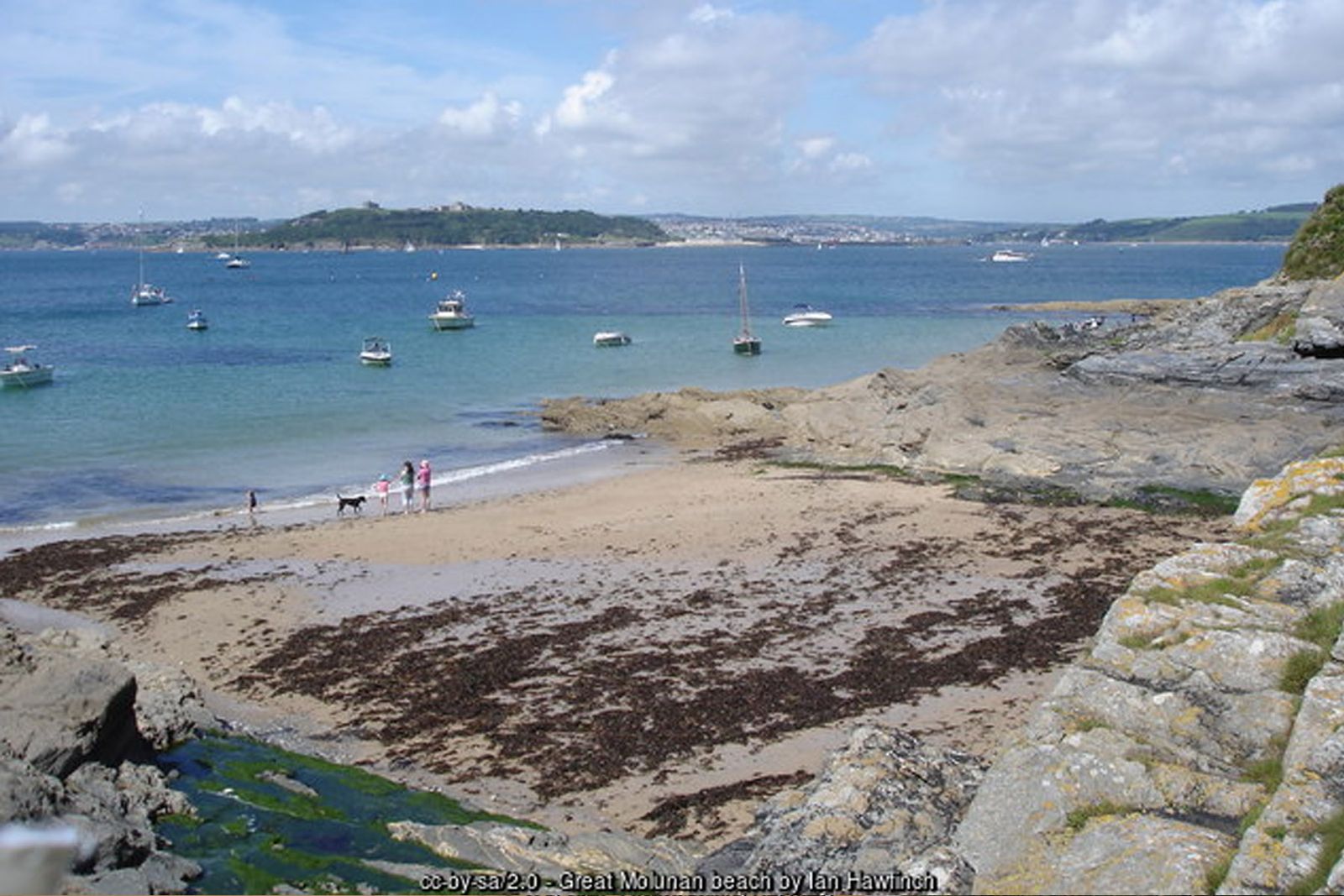
From the car park cross the road and follow the waymarked link path down to the coast path. It drops steeply through scrub on uneven stone steps, with Little Molunan beach below. Turn right (north) along the coast path above Great and Little Molunan, two sheltered sandy coves looking across the estuary to Falmouth and Pendennis Castle.
Carricknath Point and Cellars Beach
Continue along the field edges round Carricknath Point, with St Mawes Castle across the water, and on past Cellars Beach. The path leads round to the church of St Anthony, tucked in behind Place House.
Place
The path passes the church and comes out by Place House, rebuilt in the 1840s on an earlier site, and the landing stage used by the seasonal passenger ferry from St Mawes – an alternative start if you arrive by boat.
Around Porth Creek
From Place follow the footpath signed round the edge of Porth Creek, a quiet wooded inlet, to Porth Farm and the road near the National Trust car park.
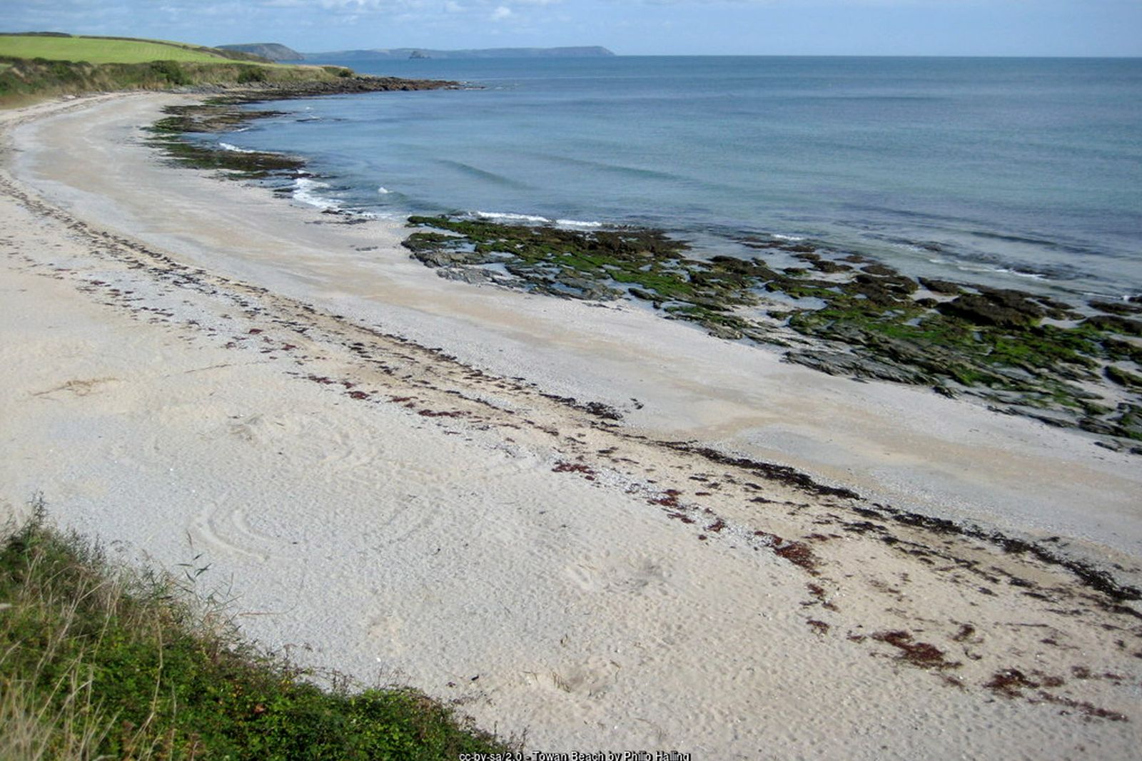
Towan Beach
Cross the road and follow the path through to Towan Beach, a long, sheltered beach facing east across Gerrans Bay. Turn right onto the South West Coast Path.
Back along the cliffs
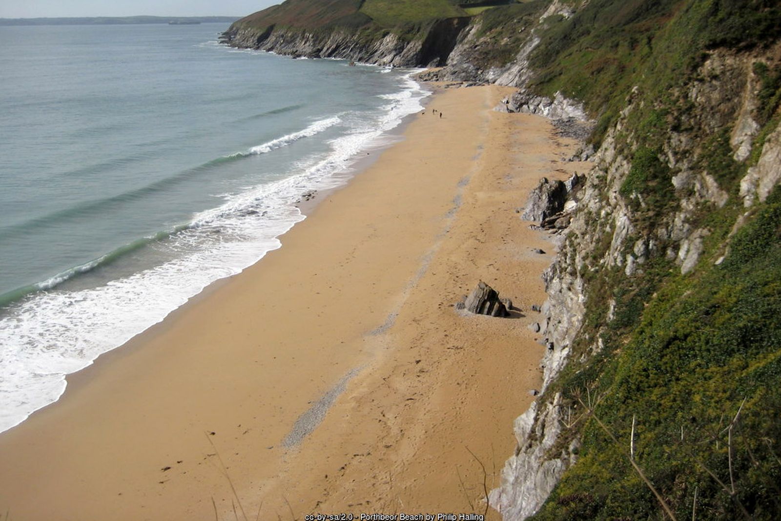
Head south along the coast path past Killigerran Head and Porthmellin Head, above the sands of Porthbeor Beach, and on to Zone Point, with views east to Nare Head and the Dodman. From here easy, level walking leads round to St Anthony Head. Detour to the Battery Observation Post and the bird hide before returning to the car park.
All information is given in good faith and for guidance only. Always carry the OS map and check the South West Coast Path website for diversions.
Highlights along the way
St Anthony Head lighthouse
A white lighthouse at the entrance to the Fal, built by Trinity House in 1835.
St Anthony Battery
Victorian gun emplacements built in 1895–97 to defend the Fal, later used in both world wars.
Great & Little Molunan
Two sheltered sandy coves looking across the estuary mouth to Falmouth.
Towan Beach
A long, family-friendly beach backed by National Trust farmland.
Nearby
Photos
Where the walk starts
The marker shows the start of the walk.
Before you set out
Carry the OS map – paths and signs can change and mobile signal is patchy.
Check the weather and tide times before you set out.
Keep to the path and well back from cliff edges.
Keep dogs under close control near livestock and cliffs.