Minions Cornwall – Bodmin Moor Village, the Cheesewring & Hurlers Stone Circles
Minions in Cornwall
Cornwall Online | South East Cornwall Towns and Villages | Looe | Talland Bay | Polperro | Polruan | Fowey | Lostwithiel | Mevagissey | Whitsand Bay & The Rame Peninsula | Kingsand | Cawsand | Mount Edgcumbe Country Park | Torpoint | St Germans | Saltash | Liskeard | Siblyback Lake - Water Park | Minions - Hurlers - Bodmin Moor | St Neot | St Cleer | Callington | Gunnislake | Calstock | Cardinham Woods - Walking & Cycle Trails | Launceston |
MINIONS & BODMIN MOOR
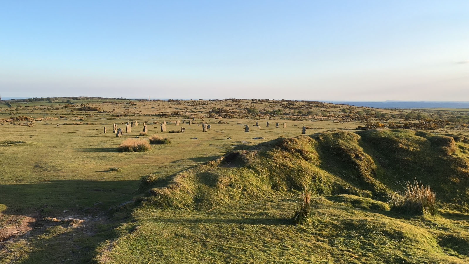
Prehistoric monuments, granite tors and Cornwall’s mining heritage. Minions, a few miles north of Liskeard on the southern edge of Bodmin Moor, is one of Cornwall’s highest villages – and it boasts the highest pub in Cornwall. Its exposed moorland setting brings together an extraordinary range of heritage: prehistoric stone circles and burial monuments, dramatic granite formations, old tracks across the uplands and the remains of 19th-century copper and tin mining. The village is small, but the landscape around it tells a story stretching across thousands of years.
The open moor can look timeless, yet it has been continually used and reshaped. Neolithic and Bronze Age communities marked places in the landscape with stones and burial mounds; later generations crossed the moor with livestock, worked its mineral deposits and quarried its granite. The remains often stand close together, so a walk from Minions can move from prehistoric ritual monuments to industrial archaeology within a short distance. Weather can change quickly on the high ground, and visitors should keep to safe paths around old workings, quarries and uneven granite.
The Hurlers
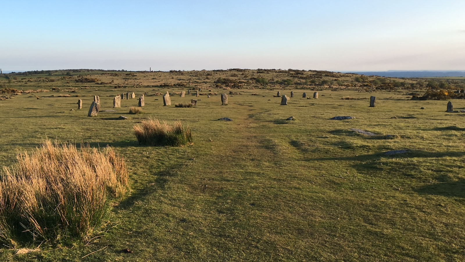
Just west of Minions, a short walk from the village car park, stand the Hurlers: three stone circles set in a line running north-east to south-west across the moor. They are among Cornwall’s best-known prehistoric monuments and are generally dated to the Late Neolithic or Early Bronze Age, although the precise date and purpose of each circle remain subjects of archaeological interpretation. The circles differ in size and in the number and condition of their surviving stones – the central circle is the best preserved, while most stones of the southern circle have fallen. Stone robbing and grazing cattle have toppled many stones over the centuries, and some missing stones are now marked, so the original appearance of the complex would have been different from what visitors see today.

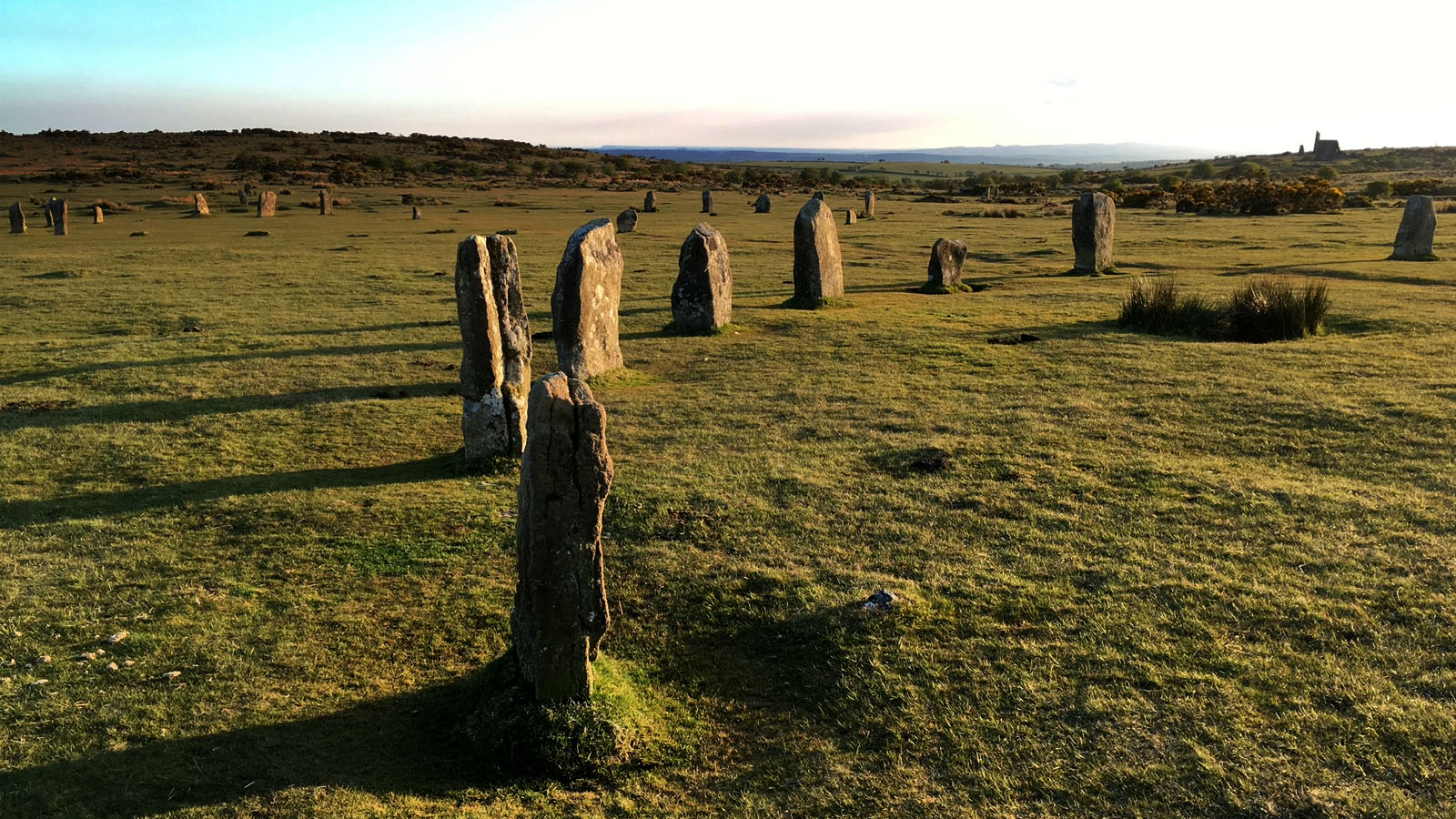
Excavations in the 1930s found that the stones of the central circle had been hammered smooth, and uncovered a strip of granite paving running between the northern and central circles. Stone circles are often described as ceremonial or ritual monuments, but their exact uses are rarely known. They may have provided places for gatherings, rites, seasonal observances or activities linked to the communities that built and maintained them. Their alignment and relationship to the surrounding landscape have encouraged many interpretations, but it is important to distinguish evidence from speculation: archaeology has not established one definitive explanation for the Hurlers.
Local tradition offers a more memorable story. According to legend, the stones are men turned to stone as punishment for playing the Cornish game of hurling on a Sunday. The tale is part of Cornwall’s rich body of folklore, which often explains ancient monuments through stories of people transformed, buried treasure or supernatural events. Such legends are not historical accounts, but they show how later communities made sense of monuments whose origins had been forgotten.
The Hurlers remain a compelling place to pause and look across the moor. Their setting is part of their character: the circles are not enclosed within a modern park but sit in an open landscape of grass, granite and far-reaching views. Please don’t climb on the stones or move smaller rocks, as even apparently minor disturbance can damage an archaeological site.
The Pipers
Two standing stones close together to the west of the circles are known as the Pipers. In the traditional story, they were the musicians who played tunes on a Sunday while the men played hurling, and they too were turned to stone. The names of the Hurlers and the Pipers therefore form a single piece of folklore, linking the circles and the outlying stones into a scene of forbidden Sunday sport.
The stones are also important in their own right as prehistoric standing stones. Their original purpose is uncertain, and their names should not be mistaken for proof of how they were used, or that they were put up at the same time as every stone in the circles. Their relationship to the Hurlers is a reminder that prehistoric monuments are best understood as part of a wider landscape, rather than as isolated curiosities.
↑ Back to topTHE CHEESEWRING
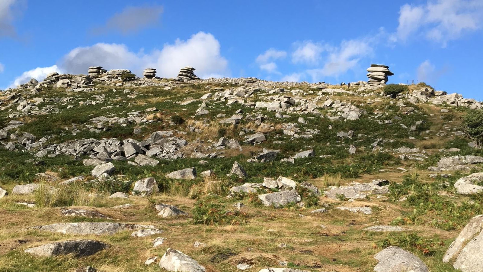
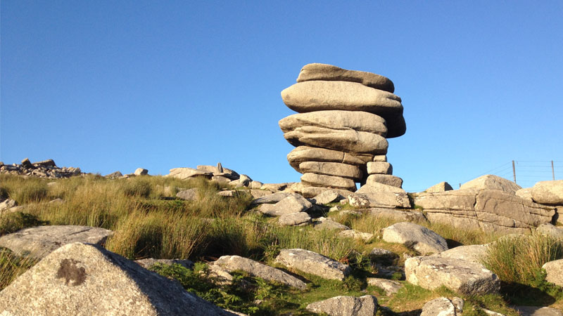
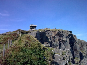
North of Minions, on Stowe’s Hill, the Cheesewring is one of Bodmin Moor’s most recognisable natural landmarks. This dramatic stack of granite slabs balances above the edge of the old Cheesewring Quarry, creating a shape that resembles a pile of cheeses pressed one on top of another. The formation is a product of long-term weathering and erosion acting on jointed granite: the rock has been broken by natural fractures, and weathering has gradually loosened and rounded the blocks, leaving the striking arrangement visible today.
Granite formed when molten rock cooled slowly underground, allowing crystals of quartz, feldspar and mica to grow – Bodmin Moor is one of the granite masses of the Cornubian Batholith, about 290 million years old. Over immense periods, erosion removed the rock above the granite and exposed it at the surface. Water, changes in temperature and chemical weathering exploited existing joints and helped separate blocks. The Cheesewring is therefore not an artificial stack, although quarrying nearby has altered its surroundings. Read more in our Bodmin Moor geology guide.
The walk from Minions is roughly 1.5 kilometres each way, depending on the route taken. On a clear day, the elevated position offers extensive views across Bodmin Moor and towards other parts of Cornwall and Devon. The route can be rough, wet and exposed, so sturdy footwear and weather-appropriate clothing are advisable. Keep away from quarry edges and do not climb the formation: the rocks can be unstable and the drops hazardous.

RILLATON BARROW & THE GOLD CUP
Rillaton Barrow is a substantial Early Bronze Age burial mound near Minions, lying to the north-east of the Hurlers – about 34 metres across and nearly 3 metres high. The barrow is an important reminder that the moor was not simply a place for stone circles and standing stones. Burial mounds marked the dead and could have expressed ancestry, status, memory and connections between communities and particular places. The mound’s prominent position on the skyline also makes it a visible feature of the wider prehistoric landscape.
In 1837, workers digging into the mound for stone discovered a stone burial chamber, or cist, near its eastern side. Accounts of the discovery describe human remains and grave goods, including a bronze dagger, beads and pottery, alongside a remarkable gold cup. The find became known as the Rillaton Gold Cup: a small, ribbed vessel of beaten gold with a riveted handle, whose craftsmanship demonstrates the skill and long-distance connections that existed in Bronze Age Britain.
The finds were sent to King William IV as Duchy treasure, and the cup remained in the royal household. After the death of George V in 1936 it was lent to the British Museum, where it is displayed today, although it still belongs to the Royal Collection. A replica can be seen at the Royal Cornwall Museum in Truro. The original burial was disturbed during the 19th-century discovery, and early records are not as detailed as modern archaeological documentation would be. Even so, the find remains one of Cornwall’s most celebrated prehistoric discoveries and places Minions within a wider story of Bronze Age metalworking, exchange and social distinction.
The line through the two northern circles of the Hurlers points towards the barrow on the north-eastern skyline. The alignment has attracted interest, but its meaning should be treated cautiously: prehistoric people clearly shaped and used this landscape, yet the precise relationship between individual monuments is not fully understood.
↑ Back to top

DANIEL GUMB’S CAVE
Daniel Gumb’s Cave belongs to a different chapter of Minions’ history: the lives of people who made a home in the harsh upland environment. Daniel Gumb was an 18th-century stonecutter, born in Linkinhorne parish in 1703, who lived with his family in a shelter he made beneath a huge granite slab near the Cheesewring, lining the sides with stone. A self-taught mathematician who used the rock roof to watch the stars, he became known as the “Mountain Philosopher”, and a geometric diagram he carved into the rock can still be seen. He died in 1776, and a slate headstone at Linkinhorne church is inscribed as cut by him.
The site is a rock shelter rather than a cave in the usual geological sense, and spellings and details of the story vary in local accounts – popular retellings do not always agree on dates or circumstances, so they are best treated with some care. What the story does offer is a glimpse of how the moor could provide shelter and materials for people living and working away from settlements.
The shelter also illustrates how the same granite landscape served very different purposes over time. For prehistoric communities it was a setting for monuments and burial places; for later inhabitants it provided stone, grazing, mineral resources and shelter. Please leave the site undisturbed, don’t light fires, and remember that exposed moorland can be dangerous in poor weather.
↑ Back to topSTOWE’S POUND & THE PREHISTORIC LANDSCAPE
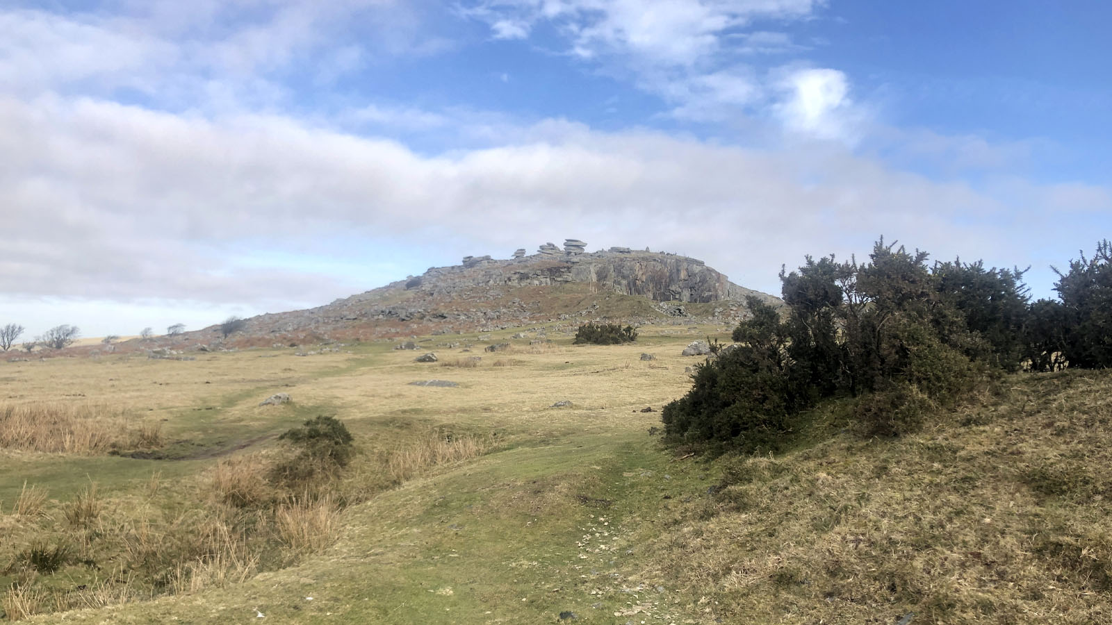
The landscape around Minions contains more than individual monuments. Tracks, lines of stones, enclosures and other earthworks can indicate how people moved through and organised the moor. The paved strip found between two of the Hurlers circles, the alignment towards Rillaton Barrow and the routes towards Stowe’s Hill have all led people to suggest links between important prehistoric places – sometimes described as a “processional way”.
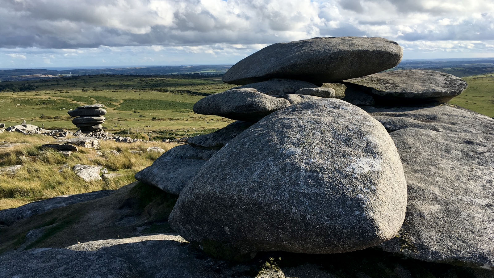
Stowe’s Pound is a large prehistoric enclosure on the summit of Stowe’s Hill, above the Cheesewring, formed by substantial stone-built banks and associated features. Its exact function and the sequence of its construction are not fully settled. It may have served as a gathering place or enclosure with more than one purpose over time. As with many prehistoric monuments, interpretations depend on the archaeological evidence and comparisons with other sites.
The phrase “processional way” describes a possible interpretation rather than a proven function. A route between monuments may have been used for movement or gatherings, but showing that it was designed for ceremonial processions needs more evidence than a visible track or alignment alone. The landscape is best read as a network of places and routes, keeping open the possibility that some connections remain uncertain.
For walkers, the climb to Stowe’s Pound is a way to appreciate the scale of the prehistoric landscape and the relationship between monuments, open moorland and distant views. The ground can be boggy and uneven, and mist can make navigation difficult. Use a reliable map, respect archaeological remains and avoid disturbing stone settings or banks.
MINING HERITAGE AT MINIONS
Houseman’s Engine House
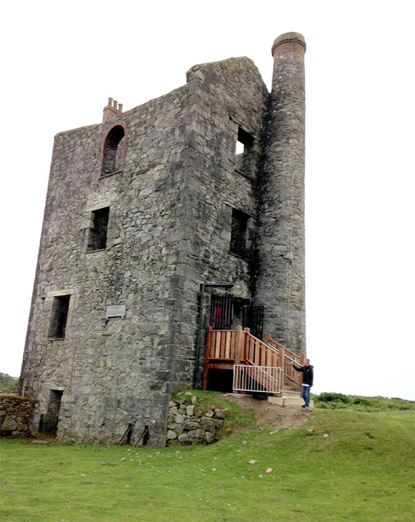
The industrial landscape around Minions is dominated by the remains of 19th-century mining. Houseman’s Engine House, just north of the village, was part of the South Phoenix Mine, which began in the 1830s as Wheal Prosper. Engine houses were built to contain steam engines, which powered pumps to remove water from the mine workings or performed other demanding tasks. Their tall masonry walls and distinctive openings were designed around heavy machinery and the forces it generated.
The buildings are not simply picturesque ruins. They represent a period when mining transformed the economy and landscape of the Caradon district. Copper and tin mining required capital, skilled workers, transport and increasingly powerful machinery. Engine houses, shafts, spoil heaps and dressing floors formed connected parts of a large industrial system, much of which is now visible only as archaeological remains.
Houseman’s Engine House formerly housed the Minions Heritage Centre, which explained the area’s mining and social history. The centre closed in early 2020. The Cornwall Heritage Trust took ownership of the building in late 2025 and is working towards its future reopening, but no date has been set – check the current access arrangements rather than assume the building is open.
The bell pits
Across the moor are numerous shallow depressions and disturbed areas associated with early mineral working. Some are bell pits: small, roughly circular workings dug down to reach a mineral deposit close to the surface. Miners dug a shaft or pit and enlarged the working below ground, producing a bell-like shape. Once the workings became unsafe or the accessible ore was exhausted, they were abandoned and often left as hollows in the landscape.
Bell pits are a characteristic form of early mining archaeology, but not every hollow on Bodmin Moor is a bell pit. Natural features, later prospecting, drainage and other industrial activity can create similar marks – small pits and a bank left by post-medieval tin working cross the Hurlers site itself. Where a series of pits follows a line, it may reveal the direction in which miners traced an ore-bearing vein. The pits show that mining did not begin with the great engine houses: people worked mineral resources with simpler methods long before steam power reshaped the district, and later mining could reuse or deepen older workings.
Bell pits are potentially dangerous. Their roofs may have collapsed, and the ground around them can be unstable or conceal openings. Do not enter depressions, climb into old workings or remove stones. Keep to established paths and look at mining remains from a safe distance.
The wider mining landscape & the Liskeard and Caradon Railway
The 19th-century mining boom brought major changes to the area around Minions. Copper and tin were extracted on an industrial scale, while granite quarrying supplied building stone. The remains of engine houses, chimneys, shafts, spoil heaps and trackways record the investment and labour involved. The landscape also preserves the less visible story of miners and their families, whose work connected this upland district to markets in Britain and overseas.
The Liskeard and Caradon Railway, opened in 1844, was built to carry copper ore and silver-grey granite from the Caradon mining district and the Cheesewring quarries down towards Liskeard and the harbour at Looe. Parts of the old trackbed can still be traced, and some sections are now favourite routes for walkers and riders – try our Minions railway & quarries walk, or the walks to the Cheesewring and over Caradon Hill.
Cornish mining also has a global history. Miners and engineers from the county travelled to mining districts around the world, taking their experience and skills to places where deep mining was expanding. For descendants researching family history, Minions and the wider Caradon district can provide a tangible connection to the places where relatives lived and worked – our Cornish genealogy guide is a useful starting point.
↑ Back to topVISITING MINIONS & BODMIN MOOR
Minions is a good base for exploring this combination of prehistoric archaeology, geology and industrial heritage. The Hurlers are close to the village, while the Cheesewring and the nearby quarry landscape can be reached on foot. Rillaton Barrow, the Pipers, Stowe’s Pound, Daniel Gumb’s Cave and the mining remains reward visitors who allow time to explore beyond the best-known viewpoints.
The moor is exposed and the weather can change rapidly. Wear sturdy footwear, carry suitable clothing and a map, and take extra care in mist or poor visibility. Do not climb on standing stones, granite tors or unstable quarry faces. Keep clear of shafts, bell pits and abandoned mine workings, and respect livestock, private land and conservation measures.
Taken together, the monuments and remains around Minions reveal a landscape used for thousands of years. The Hurlers and the Pipers preserve the mystery of prehistoric stone settings; Rillaton Barrow records Bronze Age burial and craftsmanship; the Cheesewring displays the weathering of granite; and the engine houses and bell pits recall the hard work of mining generations. It is this remarkable layering of archaeology, legend, geology and industry that makes Minions one of Bodmin Moor’s most distinctive places.
↑ Back to top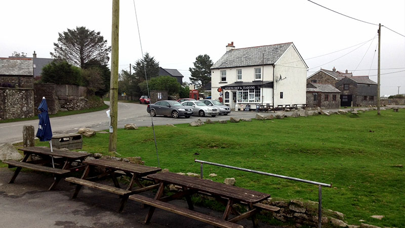
VISITOR INFORMATION
Parking
The Hurlers car park in Minions is the starting point for the stone circles, Rillaton Barrow and the Cheesewring.
Getting Here
Minions is a few miles north of Liskeard, whose station is on the main line and the Looe Valley Line. Bus services to the moorland villages are limited.
Facilities
The village has the highest pub in Cornwall, a tea room and shop. There are no facilities out on the moor.
Walks
Easy walks from the car park to the Hurlers and Rillaton Barrow, a longer walk to the Cheesewring and Stowe’s Pound, and the old railway track beds across the moor. Weather changes quickly – take warm layers.
Ancient Sites
The Hurlers and the Pipers are in the care of English Heritage, free and open at any reasonable time.
Disabled Access
The Hurlers are close to the car park over grassy, uneven moorland; the Cheesewring involves a rougher climb over rocky ground.
STAY & EXPLORE NEAR MINIONS
Bodmin Moor Villages
- St Cleer – approx. 3 miles
- Liskeard – approx. 5 miles
- St Neot – approx. 7 miles
- Callington – approx. 6 miles
Nearby Attractions
- Siblyback Lake – approx. 3 miles
- Trethevy Quoit – approx. 3 miles
- Gold Diggings Quarry – approx. 1 mile
Back to the South East Cornwall area guide – all Caradon towns & villages
Cornwall Online | South East Cornwall Towns and Villages | Looe | Talland Bay | Polperro | Polruan | Fowey | Lostwithiel | Mevagissey | Whitsand Bay & The Rame Peninsula | Kingsand | Cawsand | Mount Edgcumbe Country Park | Torpoint | St Germans | Saltash | Liskeard | Siblyback Lake - Water Park | Minions - Hurlers - Bodmin Moor | St Neot | St Cleer | Callington | Gunnislake | Calstock | Cardinham Woods - Walking & Cycle Trails | Launceston |